
VIIRS archive on Azure
Blu‑H is moving the VIIRS flood archive to the cloud.
We’re migrating NASA / NOAA VIIRS flood products to Azure and serving them through a STAC catalog on Planetary Computer Pro — so partners and researchers can discover and render the data directly.
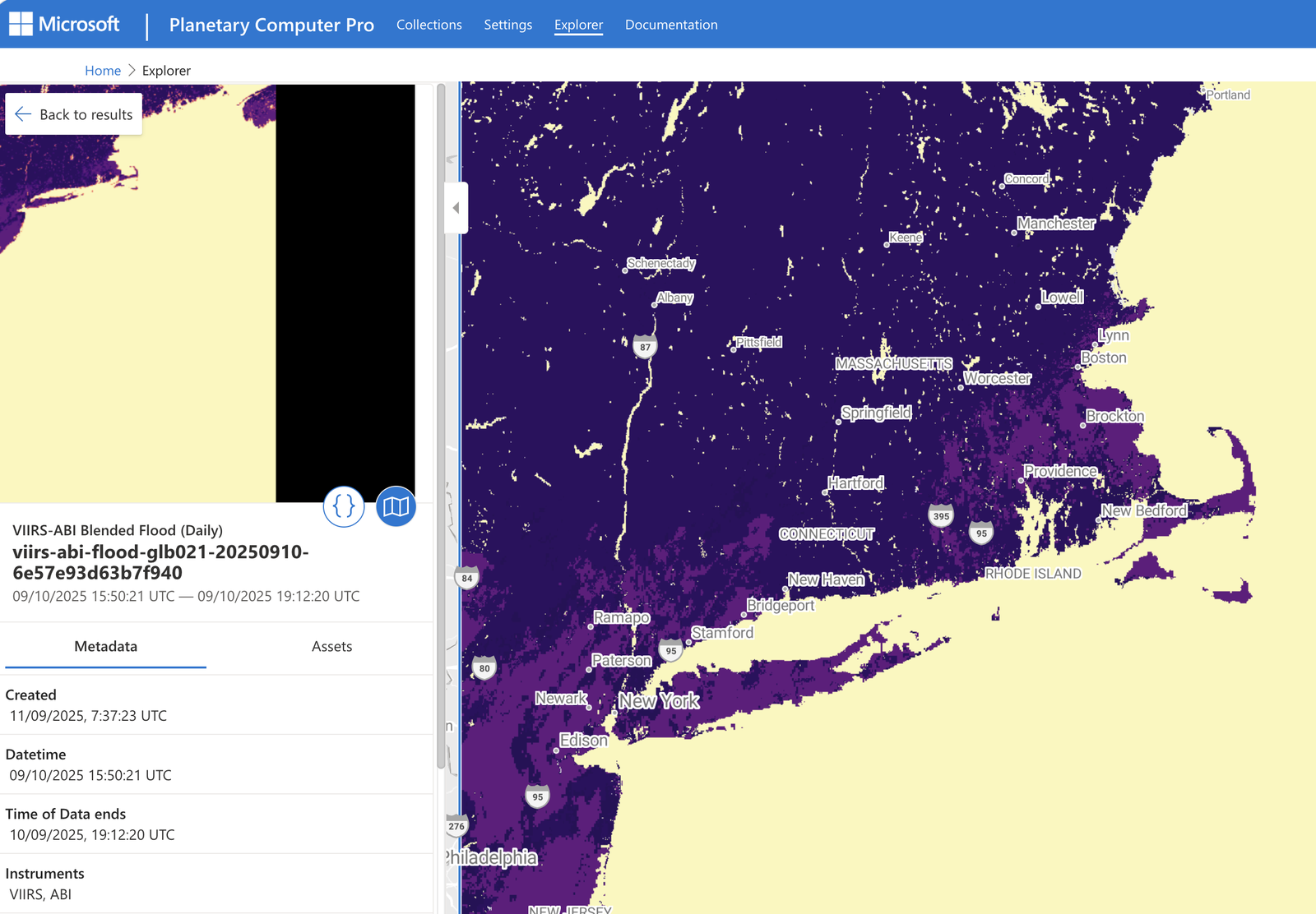
Status: MVP build in progress · first product through the pipeline is the VIIRS-ABI Blended Flood (GLB011).
Why this project
The public flood archive has a multi-year gap. We fill it.
The public VIIRS flood composites on AWS (NOAA JPSS Open Data) are incomplete — coverage breaks for roughly 2021 to mid‑2023. Blu‑H holds a complete, continuous copy of the record spanning that gap (2019–2025, only three days missing). A researcher doing time‑series work across 2021–2023 can’t get that continuity from the public bucket today — they can from us.
We serve our gap‑filling record cloud‑natively (Azure → Planetary Computer Pro → STAC API with dynamic tiling), and we’re building a cross‑archive STAC so a single query returns unbroken coverage — pulling whichever archive holds each date transparently.
The data, rendered
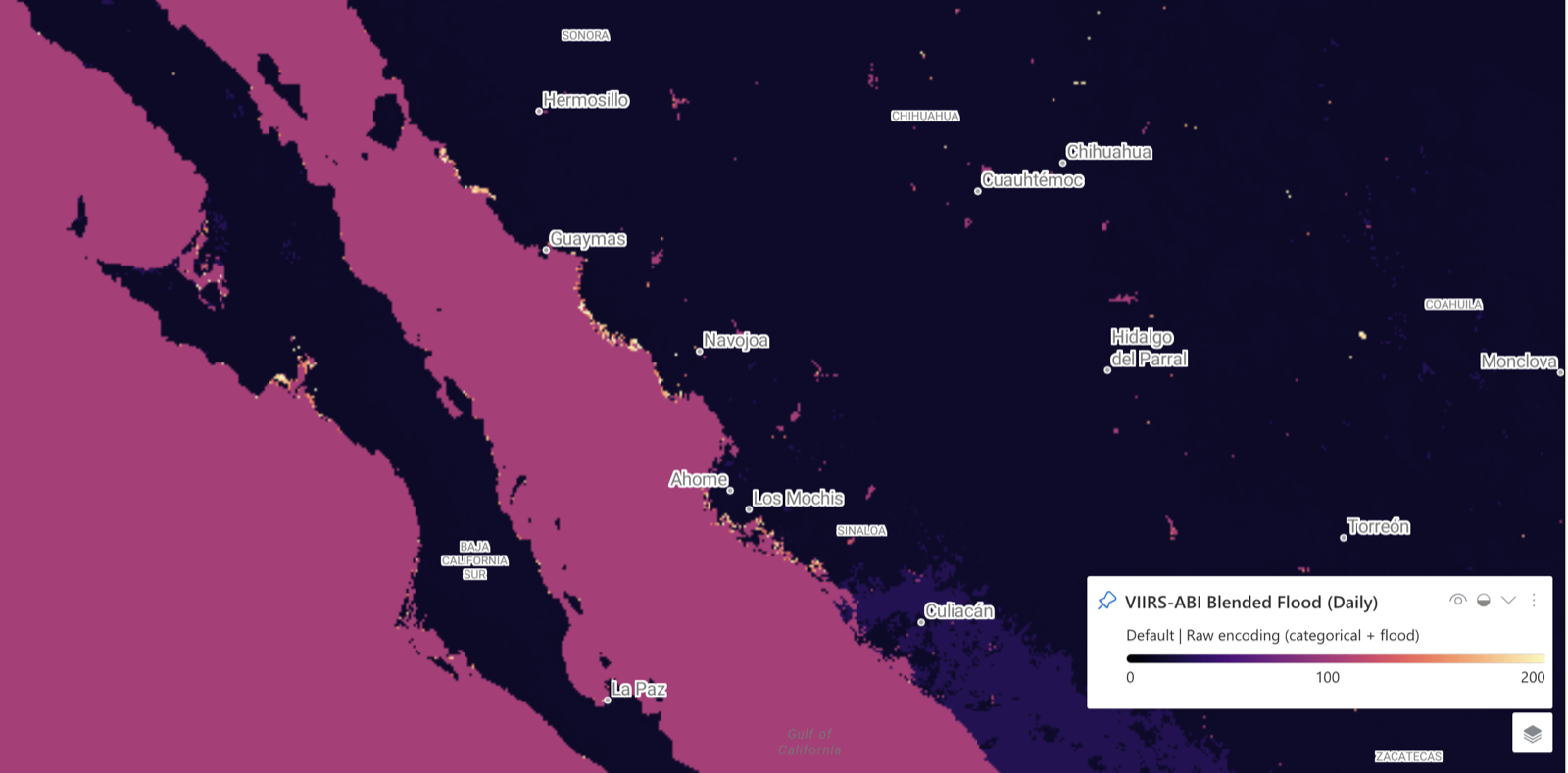
VIIRS-ABI Blended Flood, live in the catalog
Every item is discoverable and renderable on demand through the STAC API and dynamic tiling — real output from the Planetary Computer Pro Explorer, no pre-baked imagery.
What VIIRS is
A visible / infrared radiometer on Suomi NPP, NOAA-20 and NOAA-21 — twice-daily global coverage at 375 m / 750 m.
The instrument →What we’re doing
Cloud-optimising the on-prem NetCDFs into a managed STAC catalog, so the on-prem repository can be switched off.
Project goals →Source & licensing
Source data are US-federal public domain (NASA / NOAA / CIMSS); our derivatives are CC0 1.0.
Attribution →Support Blu‑H
Blu‑H is a non-profit (ASBL). This work runs on donated Azure credits and volunteer time — membership and donations keep it going.